Geodatenshop
Veraltete Version! Zur aktuellen Version wechseln
Kartenblatteinteilungen basierend auf Landeskarten
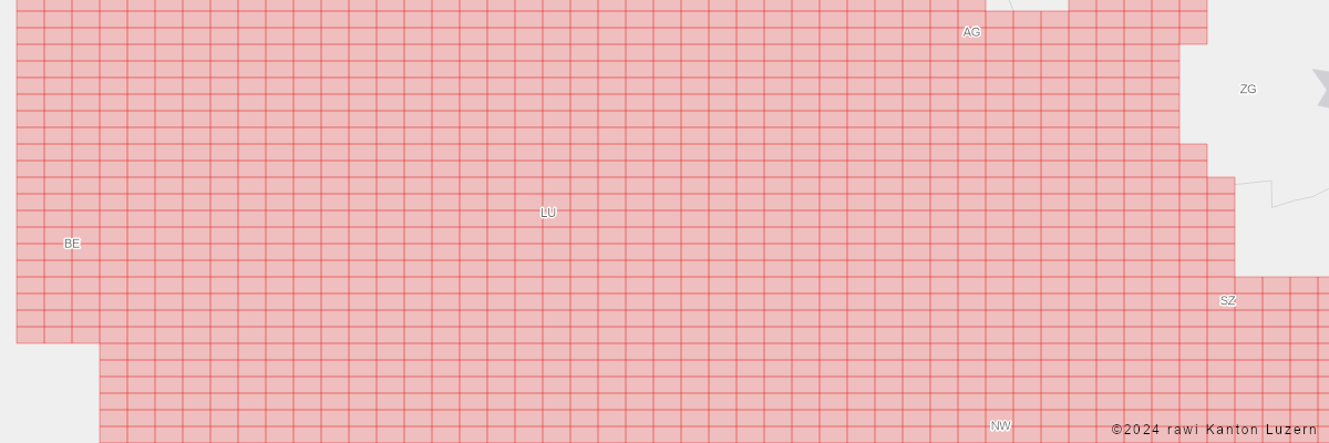
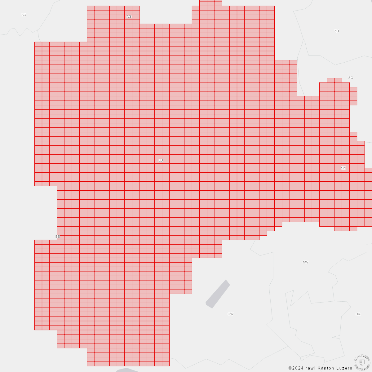
Kartenblatteinteilungen, basierend auf den verschiedenen Landeskarten sowie der Übersichtsplans 1:10'000 des Kantons
Zeigt die Verteilung der verschiedenen Kartenblatteinteilungen über den Kanton Luzern und bildet eine Grundlage für das Prozessieren von Referenz-Rasterdaten (insbesondere Landeskarten, Übersichtsplan, Orthofotos, DTM/DOM)
Dieser Mixed-Datensatz enthält 6'739 Objekte und wird in dreizehn Dateien (REFKARBL_V2_PY2, REFKARBL_V2_PY9, REFKARBL_V2_PY10, REFKARBL_V2_PY8, REFKARBL_V2_PY7, REFKARBL_V2_PY6, REFKARBL_V2_PY3, REFKARBL_V2_PY4, REFKARBL_V2_PY5, REFKARBL_V2_PY11, REFKARBL_V2_PY1, REFKARBL_V2_PY12, REFKARBL_V2_PY13) ausgeliefert
| Dateiname: | REFKARBL_V2_PY2 |
| Beschrieb: | Kartenblatteinteilung, UP/16 |
| Inhalt: |
| Attribut | Alias (Typ) / Beschreibung |
|---|---|
Shape |
Shape (Se Shape Type)
|
Shape_Area |
Shape_Area (Gleitkommazahl)
|
Shape_Length |
Shape_Length (Gleitkommazahl)
|
BLATT |
Kartenblattnummer (ganze Zahl)
Nummer des Kartenblatts
|
| Dateiname: | REFKARBL_V2_PY9 |
| Beschrieb: | Kartenblatteinteilung, LK500 |
| Inhalt: |
| Attribut | Alias (Typ) / Beschreibung |
|---|---|
Shape |
Shape (Se Shape Type)
|
Shape_Area |
Shape_Area (Gleitkommazahl)
|
Shape_Length |
Shape_Length (Gleitkommazahl)
|
BLATT |
Kartenblattnummer (ganze Zahl)
Nummer des Kartenblatts
|
| Dateiname: | REFKARBL_V2_PY10 |
| Beschrieb: | Kartenblatteinteilung, LK 1:1 Mio |
| Inhalt: |
| Attribut | Alias (Typ) / Beschreibung |
|---|---|
Shape |
Shape (Se Shape Type)
|
Shape_Area |
Shape_Area (Gleitkommazahl)
|
Shape_Length |
Shape_Length (Gleitkommazahl)
|
BLATT |
Kartenblattnummer (ganze Zahl)
Nummer des Kartenblatts
|
| Dateiname: | REFKARBL_V2_PY8 |
| Beschrieb: | Kartenblatteinteilung, LK200 |
| Inhalt: |
| Attribut | Alias (Typ) / Beschreibung |
|---|---|
Shape |
Shape (Se Shape Type)
|
Shape_Area |
Shape_Area (Gleitkommazahl)
|
Shape_Length |
Shape_Length (Gleitkommazahl)
|
BLATT |
Kartenblattnummer (ganze Zahl)
Nummer des Kartenblatts
|
| Dateiname: | REFKARBL_V2_PY7 |
| Beschrieb: | Kartenblatteinteilung, LK100 |
| Inhalt: |
| Attribut | Alias (Typ) / Beschreibung |
|---|---|
Shape |
Shape (Se Shape Type)
|
Shape_Area |
Shape_Area (Gleitkommazahl)
|
Shape_Length |
Shape_Length (Gleitkommazahl)
|
BLATT |
Kartenblattnummer (ganze Zahl)
Nummer des Kartenblatts
|
| Dateiname: | REFKARBL_V2_PY6 |
| Beschrieb: | Kartenblatteinteilung, LK50 |
| Inhalt: |
| Attribut | Alias (Typ) / Beschreibung |
|---|---|
Shape |
Shape (Se Shape Type)
|
Shape_Area |
Shape_Area (Gleitkommazahl)
|
Shape_Length |
Shape_Length (Gleitkommazahl)
|
BLATT |
Kartenblattnummer (ganze Zahl)
Nummer des Kartenblatts
|
| Dateiname: | REFKARBL_V2_PY3 |
| Beschrieb: | Kartenblatteinteilung, UP/4 |
| Inhalt: |
| Attribut | Alias (Typ) / Beschreibung |
|---|---|
Shape |
Shape (Se Shape Type)
|
Shape_Area |
Shape_Area (Gleitkommazahl)
|
Shape_Length |
Shape_Length (Gleitkommazahl)
|
BLATT |
Kartenblattnummer (ganze Zahl)
Nummer des Kartenblatts
|
| Dateiname: | REFKARBL_V2_PY4 |
| Beschrieb: | Kartenblatteinteilung, UP |
| Inhalt: |
| Attribut | Alias (Typ) / Beschreibung |
|---|---|
Shape |
Shape (Se Shape Type)
|
Shape_Area |
Shape_Area (Gleitkommazahl)
|
Shape_Length |
Shape_Length (Gleitkommazahl)
|
BLATT |
Kartenblattnummer (ganze Zahl)
Nummer des Kartenblatts
|
| Dateiname: | REFKARBL_V2_PY5 |
| Beschrieb: | Kartenblatteinteilung, LK25 |
| Inhalt: |
| Attribut | Alias (Typ) / Beschreibung |
|---|---|
Shape |
Shape (Se Shape Type)
|
Shape_Area |
Shape_Area (Gleitkommazahl)
|
Shape_Length |
Shape_Length (Gleitkommazahl)
|
BLATT |
Kartenblattnummer (ganze Zahl)
Nummer des Kartenblatts
|
| Dateiname: | REFKARBL_V2_PY11 |
| Beschrieb: | Kartenblatteinteilung, UP/25 |
| Inhalt: |
| Attribut | Alias (Typ) / Beschreibung |
|---|---|
Shape |
Shape (Se Shape Type)
|
Shape_Area |
Shape_Area (Gleitkommazahl)
|
Shape_Length |
Shape_Length (Gleitkommazahl)
|
BLATT |
Kartenblattnummer (ganze Zahl)
|
| Dateiname: | REFKARBL_V2_PY1 |
| Beschrieb: | Kartenblatteinteilung, UP/64 |
| Inhalt: |
| Attribut | Alias (Typ) / Beschreibung |
|---|---|
Shape |
Shape (Se Shape Type)
|
Shape_Area |
Shape_Area (Gleitkommazahl)
|
Shape_Length |
Shape_Length (Gleitkommazahl)
|
BLATT |
Kartenblattnummer (ganze Zahl)
Nummer des Kartenblatts
|
| Dateiname: | REFKARBL_V2_PY12 |
| Beschrieb: | Kartenblatteinteilung, Topographische Karte (1864 - 1867) |
| Inhalt: |
| Attribut | Alias (Typ) / Beschreibung |
|---|---|
Shape |
Shape (Se Shape Type)
|
Shape_Area |
Shape_Area (Gleitkommazahl)
|
Shape_Length |
Shape_Length (Gleitkommazahl)
|
BLATT |
Kartenblattnummer (Text)
Kartenblattnummer
|
| Dateiname: | REFKARBL_V2_PY13 |
| Beschrieb: | Kartenblatteinteilung, UP/56 |
| Inhalt: |
| Attribut | Alias (Typ) / Beschreibung |
|---|---|
Shape |
Shape (Se Shape Type)
|
Shape_Area |
Shape_Area (Gleitkommazahl)
|
Shape_Length |
Shape_Length (Gleitkommazahl)
|
BLATT |
Kartenblattnummer (ganze Zahl)
|
letzte Aktualisierung dieser Seite (Stand der Metadaten): 13.01.2024